The Mid-Week Spatial Pick-Me-Up is a new weekly meeting in the Spatial Analysis Lab created to build a community around the latest map developments and geographic technology on campus.
“We look at it as a way to show people the lab, but also to show the software and GIS [Geographical Information System] research projects and things we have been doing,” said Kim Browne, director of the spatial analysis lab and professor of geography.
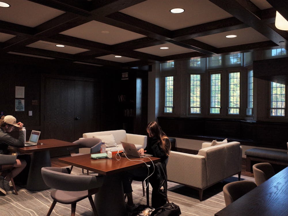
Students, staff, faculty and interns gather in the Carole Weinstein International Center every Wednesday morning to share their interest in geography and to learn more about GIS, a technology that gathers and analyzes data to be turned into maps.
At the first meeting on Aug. 24, Browne gave a presentation on a map created over the summer with GIS technology, which included all of the new roads and buildings on campus to be updated in the 911 system.
“The purpose of the meetings is to show people what’s possible and hopefully get some ideas flowing,” said Taylor Holden, GIS technician and recent Richmond graduate.
Not everyone who attends the meetings is directly involved with a geography course. Some faculty members from different departments come to hear about the recent projects using GIS technology on campus. Holden and Browne advertised to all corners of Richmond, reaching people like Benjamin Grille, an intern for architectural services.
Staff members from the Center for Teaching, Learning and Technology, who have worked with the Spatial Analysis Lab in the past, attended the first meeting to learn how to teach professors the technology in the lab.
“It’s a lot of trying to keep a group of key stakeholders within the university aware of what GIS can do,” Holden said.
The lab has only met twice so far, but the participants have long-term plans. In one project, they will work with John Moeser in the Center for Civic Engagement to map segregation in the city of Richmond from 1950 to the present to see if it has changed, Holden said.
The agenda is not limiting, however. Anyone involved can have the freedom to work on what they want. The theme of the week will vary, depending on what projects are going on.
“We’ve only had one meeting, so it’s evolving,” Browne said.
Contact news writer Stephanie Hagan at stephanie.hagan@richmond.edu
Enjoy what you're reading?
Signup for our newsletter
Support independent student media
You can make a tax-deductible donation by clicking the button below, which takes you to our secure PayPal account. The page is set up to receive contributions in whatever amount you designate. We look forward to using the money we raise to further our mission of providing honest and accurate information to students, faculty, staff, alumni and others in the general public.
Donate Now


